
Sri Lanka is an island country located in southern Asia, in the Indian Ocean. The country is located southeast of the coast of India and occupies a strategic position on the sea trade routes between the East and the West.
Geographical coordinates and area
Sri Lanka is located between 5°55' and 9°51' north latitude, and 79°41' and 81°53' east longitude. The country's area is 65,610 km², including the main island and several small offshore islands.
Borders and Maritime Environment
Sri Lanka has no land borders, as it is an island state. It is washed by the waters of the Indian Ocean, and its closest continental neighbor is India. The Palki Strait and the Gulf of Mannar separate these two countries.
Relief and Climate
Sri Lanka has a varied relief: plains predominate in the southwest of the country, while mountain ranges rise in the central and southern parts. The highest point is Mount Pidurutalagala (2,524 m).
The climate in Sri Lanka is tropical monsoon, with two main rainy seasons. Average annual temperatures range from 27 to 30 °C on the coast and from 15 to 18 °C in the mountains.
Major cities and regions
-
Colombo is the largest city and economic center of the country.
-
Kandy is a cultural capital with historic temples and lakes.
-
Galle is a colonial city with a Dutch fort.
-
Nuwara Eliya is a mountain resort famous for its tea plantations.
-
Jaffna is a cultural and historical center on north.
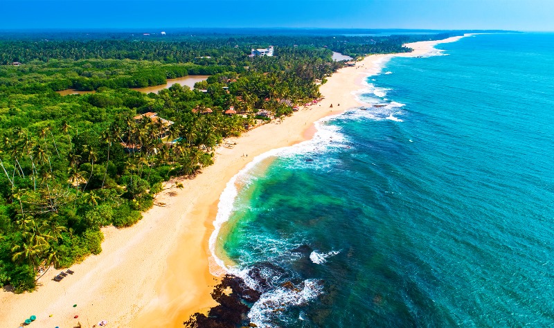
Sri Lanka is known for its beaches, ancient temples, nature reserves and tea plantations. It is one of the best destinations for ecotourism and cultural excursions.
Tours to Sri Lanka from Ukraine
If you want to spend an unforgettable vacation on the island, TourPoisk offers affordable tours to Sri Lanka from Ukraine. Discover unique nature, ancient cities and white sand beaches.


